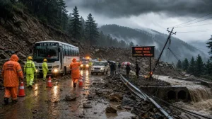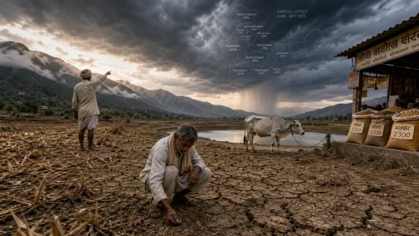
By Friday the waters had eased in Odisha’s worst-hit spots. After 48 hours without any heavy downpours, the major rivers were no longer at dangerous heights, and officials confirmed the immediate threat was over in six districts. A rising Baitarani and the prospect of another week of wet weather, however, means vigilance is still required in the northern and coastal belts.
Easing trend after 48 hours of limited rain
Conditions are better in the hardest hit areas, according to officials, with river levels coming down all over the state. The Subarnarekha, Jalaka and Budhabalanga are now flowing below their danger marks, which lessens the chance of fresh breaches. It is a change brought about by two days of little rainfall in Odisha.
Subarnarekha retreats, but scars remain
In Balasore the Subarnarekha has pulled back from the densely populated tracts of Baliapal, Bhograi and Jaleswar. At Rajghat it was at 9.75 metres, well under the 10.36 metre danger mark. The district emergency office says the river peaked on August 20 at 11.82 metres.
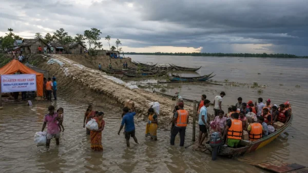
Some 2.1 lakh in Balasore have been impacted by the flooding of the Subarnarekha. That includes one lakh in Baliapal, 70,000 in Bhograi and 40,000 in Jaleswar. As access gets easier, relief teams are staying active.
Other rivers stable, one raises concern
There is no fresh inundation to worry about in the Balasore Sadar, Basta and Remuna blocks for the time being; the Jalaka and Budhabalanga have stayed put below danger levels. The Baitarani is another matter entirely, its rise a cause for concern in Kendrapara and Jajpur.
The Special Relief Commissioner’s office has noted things are stable in Jajpur, Bhadrak, Kendrapara, Mayurbhanj and Keonjhar given the lack of significant rain over the last two days. District administrations are carrying on with relief as matters return to normal.
Relief push and local disruptions
With 100 or so villages in Balasore still marooned, the administration has stepped up operations to get supplies to cut-off pockets. In Bhadrak and Jajpur, schools were closed on Friday on account of the waterlogging and flooding.
Key figures at a glance:
– More than 13 lakh affected in six districts
– Some five lakh have been evacuated
– Nearly 100 villages left high and dry in Balasore
Forecast points to another wet spell
Odisha saw an average of just 2.1 mm of rain in the 24 hours to 8.30 am on Friday, the Meteorological Centre in Bhubaneswar reported, compared to the 10.4 mm norm for August 21. Nayagarh had the most at 35 mm. This lull has allowed the rivers to recede.
From Friday on, the India Meteorological Department is calling for another six days of wet weather in the coastal and north. If the showers pick up, it could make for difficult logistics and slow the recovery in already saturated catchments.
Why the trend matters now
It is the second time since August 14 that the embankments and relief systems have been put to the test. With over 13 lakh people affected and five lakh out of harm’s way, getting from response to recovery in short order will depend on the weather co-operating.
For those living here, the lower waters are a relief if not a full resolution. One river is still on the up and more is expected, so the next few days will tell how quickly roads and services can be put right in Odisha. The authorities are treading carefully as the monsoon puts in a new appearance.