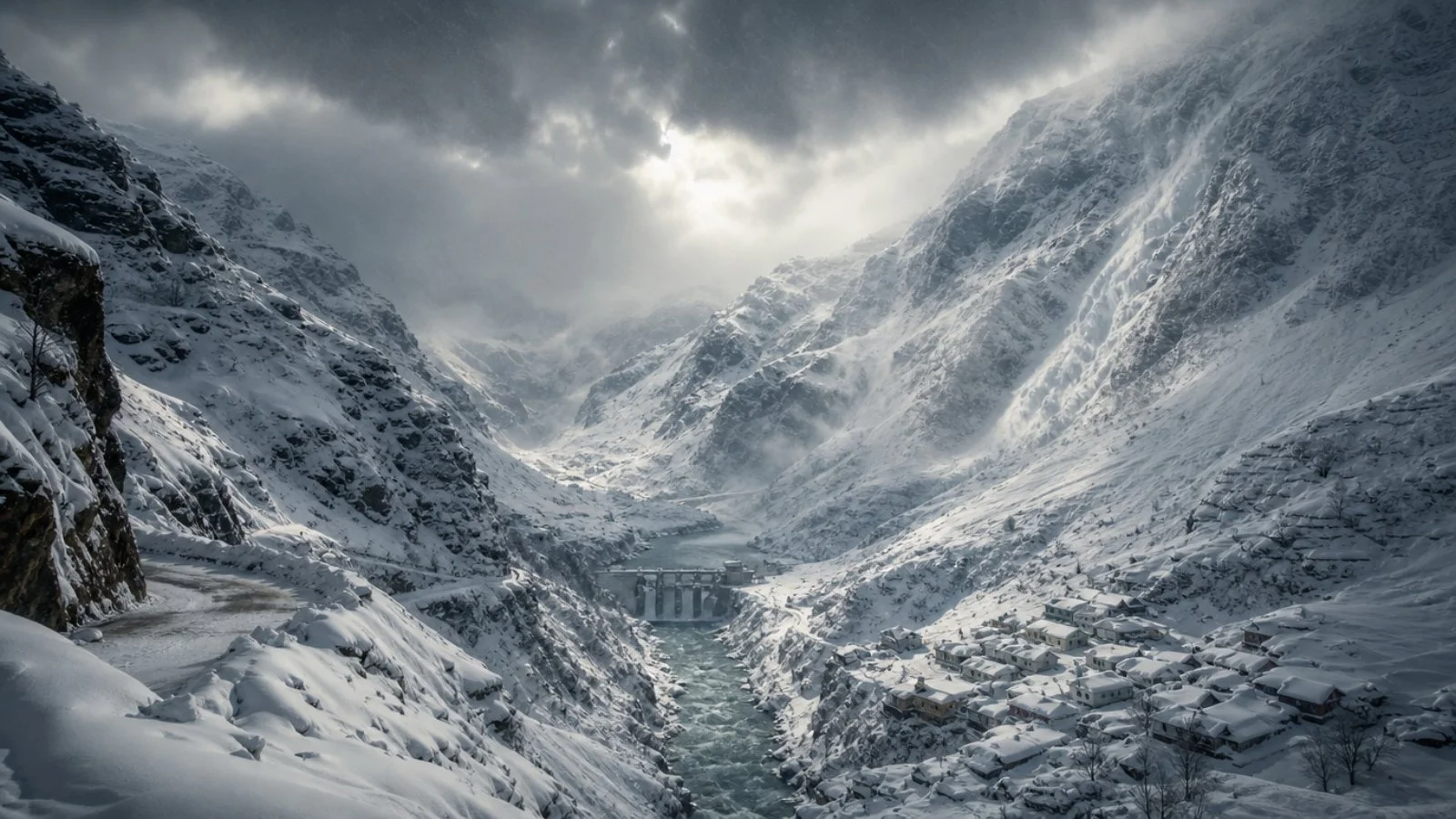
It is possible that the world’s weather datasets are not giving full credit to the amount of snow in the Himalayas, and the discrepancy is at its worst when it counts. According to an international team, the western side of the range – the valleys with the most activity – is typically under a heavier blanket than the books would have you believe. This has real-world weight for water security, the threat of avalanches, and climate strategy in northern India.
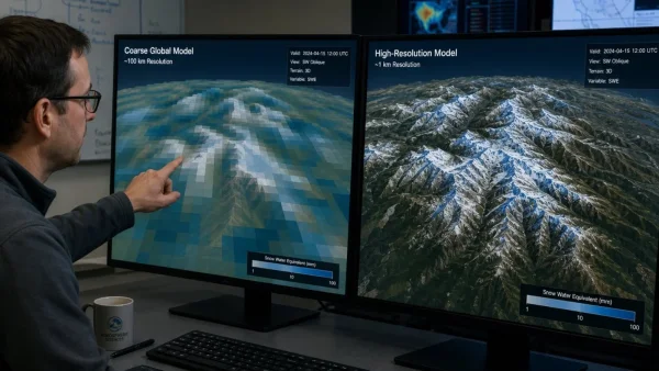
The problem, as the researchers see it, is that standard global atmospheric data does not do well in the kind of rugged topography found here. As a winter system builds, so does the error in the numbers, and in the process some of the local hotspots that put water in the rivers or add to an avalanche path are left in the dark.
Why global datasets miss Himalayan snow
You have weather being packed into a small space in the Himalayas, yet the tools used to measure it work on a broad grid. The study says this leaves the fine details of a sharp gradient to be lost, and any area with a lot of snow can end up looking like nothing at all in a typical readout.
With a high-resolution model and some new field data, the authors were able to zero in on a few of these in the western-central part of the range. The difference was starker in the case of a major storm, which is precisely when you need to know what you are dealing with.
Inside the new measurements
In a paper that came out in the Monthly Weather Review this month, a group from the British Antarctic Survey, the UK Met Office, IIT Kharagpur and other universities in the UK set out to do one thing: come up with better numbers for where they are needed most, be it for hydropower, people or glaciers.
They put their method to the test in three different mountain ranges, from the U.S. Rockies to the Alps. In every instance, the model did a better job of nailing down the timing and force of a heavy snow than the reanalysis data from around the globe.
The Archimedes-based tech
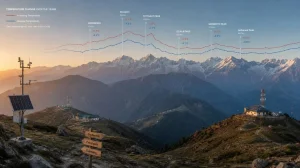
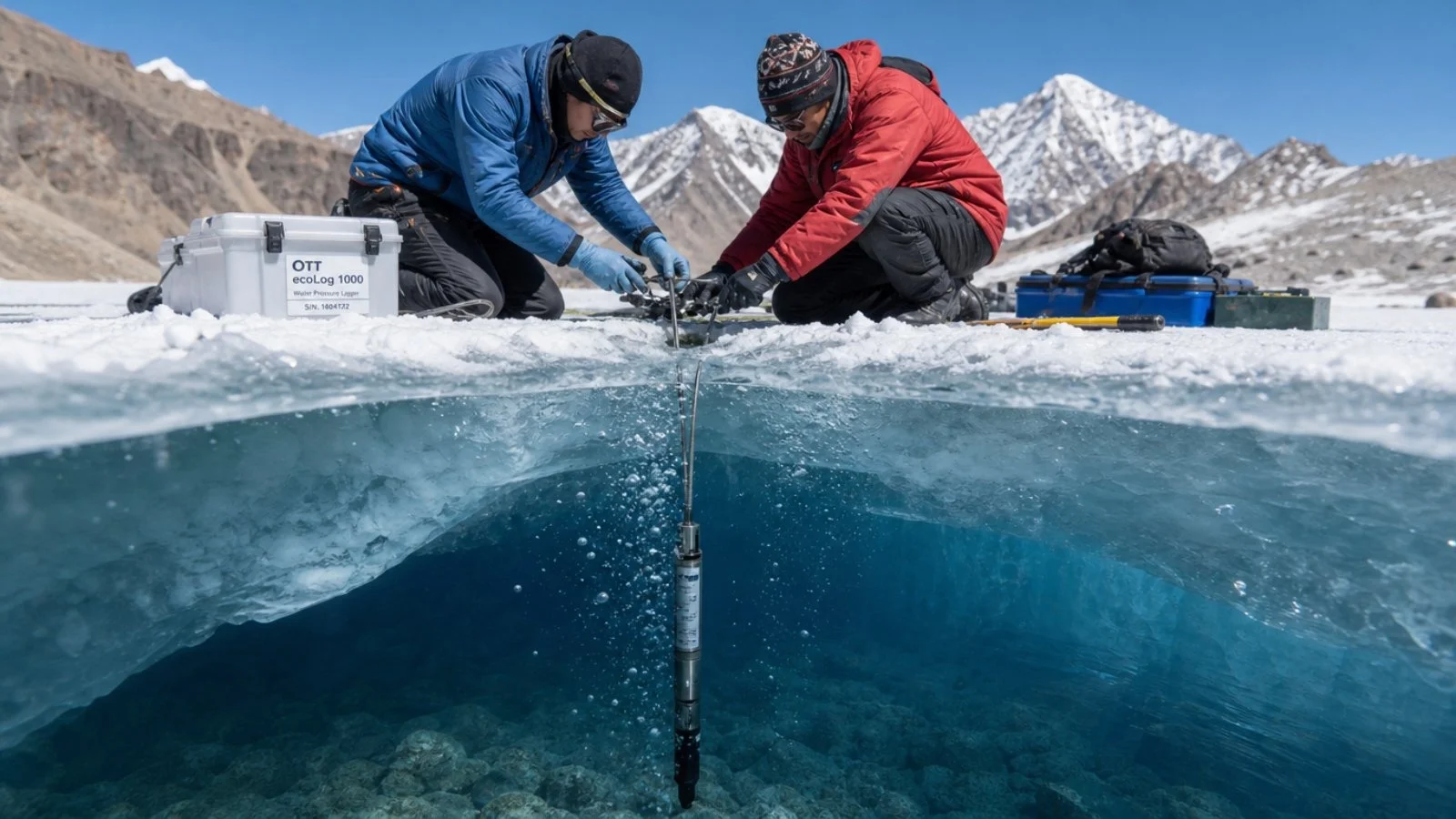
For the basins that are difficult to get to, the researchers made use of frozen lakes at high altitude. They put in place some water-pressure gear at Ghepan and Hampta in the west, and Mugu in Nepal.
Working on the principle of Archimedes, the devices will tell you the mass of the new snow by reading the pressure under the ice. It is a far more complete picture than a single point gauge, as it is picking up on everything over a lake that can be in the order of billions of square metres.
Why the numbers matter now
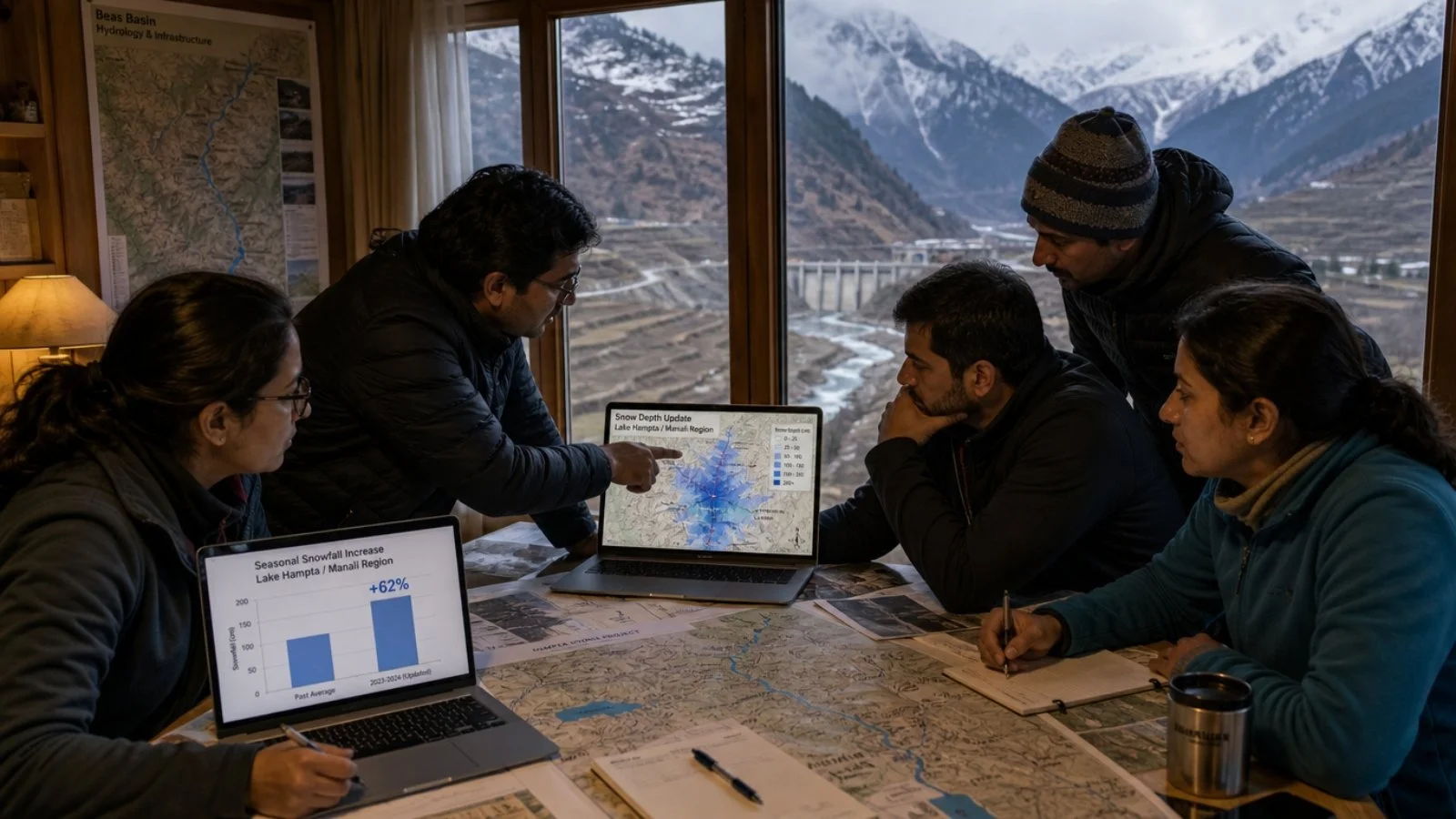
Take the Lake Hampta region in Himachal Pradesh. For one winter alone, the best analysis on hand was 37% off on the total for the season. Near Manali, the new model puts seasonal snow at over 800 kg per square metre in places, a figure that global standards do not reach.
This is more than an academic exercise. You have to have the right count to understand river flow, the state of the glaciers, and the needs of agriculture and power in the north. A good map also goes a long way in calling an avalanche and in sizing up the effect of a changing climate on the land.
What the study comes down to for those in the field is a list of priorities:
– Make room for lake-derived data in the forecast
– Revise hazard maps for the heaviest of storms
– Look again at the water budget for the main basins
– Put in more monitoring at altitude
Beyond the Himalayas
The shortfall is not unique to South Asia. The same was true for the Alps and the U.S. Rockies in the reanalysis sets. The high-res model, however, was more true to form in all three when it came to the volume and the when of the snow.
In the Himalayas, where the availability of water is already in flux, the need for hard data is pressing. If one is to make plans for storage, energy or irrigation, and to have any idea of what the rivers will be like down the line, the input has to be sound. This is the way to put together a product for the long term that is up to the task.