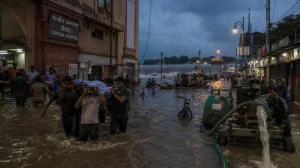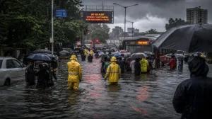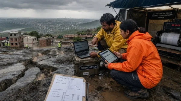
It is a deadly situation in Indiana. In Indianapolis alone there have been in excess of 90 rescues and the loss of at least five lives, while power has been cut to some 160,000 residences and commercial properties. The rivers are breaking records and with more rain on the way, the disruption is being felt well beyond the state.
According to forecasters, the pattern is not done yet. The US Weather Prediction Center has put a 40% or moderate risk of excessive rainfall on parts of Indiana, Ohio and West Virginia for Saturday. Flood watches and warnings are in place from Iowa to West Virginia.
Rescues and fatalities
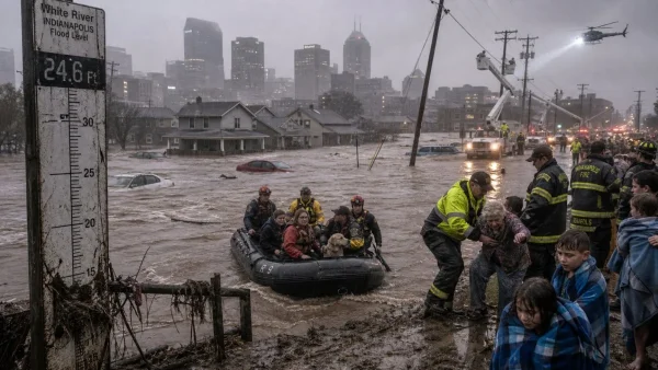
On Saturday, emergency personnel in Indianapolis waded into the rising waters of the White River to pull out more than 90 people and their animals. State authorities confirm at least five have perished in the widespread flooding this week.
Deputies in Delaware County found the body of a 58 year old woman on Friday; officials believe she was trying to make it through the water in her vehicle. Jacob Spence of the county’s emergency management office called it a crisis of once in a lifetime proportions.
Joe Hogsett, mayor of Indianapolis, declared a local emergency and has been pressing those near the river to get out. With things still unstable, his office has had to reiterate to the public to steer clear of any flooded zones.
Where the water rose fastest
You can see the White River at record heights in several communities. Noblesville has seen it jump over 20 feet since Tuesday to a 24.6 foot crest, the National Weather Service says.
In Anderson and Noblesville the numbers topped 24 feet, something not seen since 1913. Muncie officials put out an emergency order for residents to leave as the river went over its banks and moved into neighbourhoods.
Then there are the rainfall figures. Some places have taken in 11 inches in two days. Warren County put down 2 inches in six hours on Saturday. Northern Indianapolis has been swamped, with roads closed and intersections under water.
A regional system still building
Brian Hurley, a senior branch forecaster, expects another heavy spell to move through Indiana and head east to West Virginia. Parts of central and southern Indiana could see as much as 4 more inches before the weekend is out, if not more in isolated pockets.
They have been hard hit by the repeated severe weather, Hurley said. The ground is saturated and the rivers are past their limits so even a small amount of new rain is enough to bring on flash flooding.
Emergency measures and warnings
Earlier in the week Gov. Mike Braun put the state on emergency footing and asked for a federal disaster declaration. He said Saturday that President Trump will be giving the go ahead to free up recovery funds in the wake of the record rains.
The impact is being felt in transport and utilities. CSX Corp. has let customers know that wind and rain will slow some freight shipments and rail traffic is tied up in the worst affected corridors. Power is still out in many places while crews deal with the hazards.
Key developments at a glance:
– Five deaths or more across the state
– 90+ rescues on the White River
– 160,000 plus in Indiana left without electricity
– A 24.6 foot record in Noblesville
This is the culmination of a week of bad weather from Chicago to western Pennsylvania, including tornadoes and flash floods. The storm train is still rolling and the Weather Prediction Center has kept its warnings in place from Iowa to West Virginia.
For now the priority is life safety, restoring power and making sure critical road and freight links are open. Officials are telling people to follow local direction and stay away from the water entirely, especially in low-lying areas along the rivers, as more rain is in the offing.