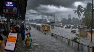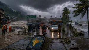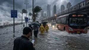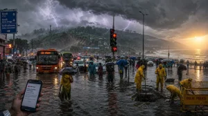
The monsoon is building once more. Forecasts have the central part of the country set for heavier rain this coming Sunday, August 9, and a wetter stretch to follow through the middle of the month. While the India Meteorological Department (IMD) projects seasonal totals at roughly 90 per cent of the long-period average, widespread showers are in store for several areas.
Why the surge matters now
You can trace the change to a low-pressure area that put in an appearance over south Gangetic West Bengal and parts of north Odisha on Saturday, August 8. Formed under a broad cyclonic circulation, it is making its way west-northwest, driving moisture inland and putting some energy back into the monsoon trough.
It is a case in point that a below-normal season can still be punctuated by intensity. These short-lived systems pack their rainfall into a few days and with it comes the threat of local flooding. El Nino may be part of the backdrop, but it does not rule out an active core monsoon zone.
Sunday hotspots and risk zones
In Chhattisgarh and Uttarakhand the IMD has flagged off chances of very heavy rain at isolated spots. Heavy rain is possible in East Rajasthan and Uttar Pradesh. For Delhi-NCR, Haryana and Punjab, one can expect scattered showers with the odd heavy spell.
The eastern and northeastern belts are primed for it. A wide area of Jharkhand, Odisha, Sub-Himalayan West Bengal and Sikkim should see a prolonged spell of rain. Assam, Meghalaya, Bihar, Himachal Pradesh and Madhya Pradesh are also on the list for heavy rain.
Coastal and southern stretches will be no less active. Pockets of Kerala, Coastal Karnataka and Lakshadweep could get hammered. And there is the prospect of thunderstorms, lightning and gusty winds in places across Kerala, Karnataka, Andhra Pradesh, Tamil Nadu, Bihar and Odisha.
Some key things to look for on Sunday:
– Rain spread across the eastern, central and southern belts
– Here and there, heavy to very heavy rain
– Thunder and wind in a number of states
– Keep an eye on IMD alerts as they come in
Central India through mid-August
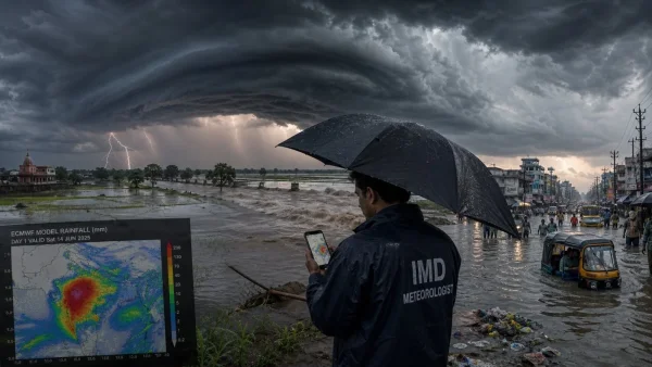
Models are in agreement on a broader pickup from the 8th to the 15th. The European Centre for Medium-Range Weather Forecasts (ECMWF) is showing 100 to 200 mm or more of accumulated rain for portions of Madhya Pradesh, Chhattisgarh and Maharashtra, with the possibility of higher figures in the Northeast.
According to meteorologists, the monsoon trough and its attendant low-pressure systems are doing much to bring moisture to central India. An independent tracker has also put out an update reflecting the ECMWF’s guidance of a build-up to be had until 13 August.
Delhi crosses August average early
In just eight days, Delhi has put in more than its share of August rain. The numbers at Safdarjung Observatory tell the story: 230.1 mm from the 1st to the 8th, edging past the 226.8 mm average for the 1991-2020 period.
Saturday was the city’s wettest August day for two years. Safdarjung put down 98.7 mm in the 24 hours to 8.30 am. The last time a single day in August topped that was 107.6 mm on 1 August 2024. The capital has had rain four days running.
Other observatories have reported similar substantial amounts for the same period. The IMD is forecasting light to very light rain in some quarters for the next couple of days.
Signals from recent activity and what comes next
In the run up to Sunday, the IMD logged very heavy rain in East Rajasthan, Haryana-Chandigarh-Delhi, West Madhya Pradesh, Odisha and Kerala in the 24 hours before 8.30 am on the 8th. It is consistent with the active phase we are seeing in the centre and beyond.
Guidance from the IMD for the week ahead has rain persisting in the east, centre, north and south, if only in varying measure. But medium-range forecasts are subject to change as new data is fed in, so the daily bulletins are worth following.
For those in charge of the city and its residents, the message is straightforward. Even when the season is tracking below normal, a hard downpour can make short work of drains in low-lying ground. Preparing for waterlogging and heeding local warnings will be the order of the day as this spell runs its course.