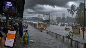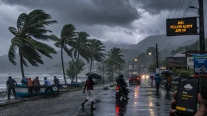
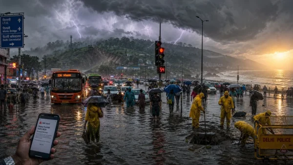
It is a new alert from the IMD for Delhi and U.P. as the southwest monsoon makes its presence felt. Saturday, July 11, 2026, brings warnings for roughly 20 states, so you can expect the usual headaches with traffic and standing water. Then comes a change of pace on Sunday, July 12, 2026: some isolated heat in Coastal Andhra Pradesh.
Today’s warnings and Sunday heat
You will see heavy to very heavy rain in odd pockets of Assam, Meghalaya, Bihar, and the Sub-Himalayan tracts of West Bengal and Sikkim. The wet conditions are also making their way to Uttarakhand and the Delhi-NCR region, with an eye on East and West U.P.
Up north, Himachal, J&K and Punjab are in for a drenching, while Haryana and Chandigarh have some heavy spells in store. Over in the east and centre, Arunachal, Jharkhand, Chhattisgarh and Odisha are on high alert for some hard rain.
Don’t be surprised by thunder and lightning in the Andaman and Nicobar Islands, or in parts of East M.P., J&K and Jharkhand, where winds could hit 40-50 kmph. Gangetic West Bengal, Odisha and West M.P. may have to put up with 30-40 kmph gusts. As for that Sunday, July 12, 2026, the IMD has put a marker down for some heat over Coastal Andhra Pradesh.
What is driving the wet spell
There is a lot of activity in the southwest monsoon, and a low-pressure area in the northern reaches of central U.P. is adding to it. That should die down in a day or so, but the monsoon trough running through the northwest and east of the country will keep the showers coming.
Upper-air currents are only adding to the rainfall in the eastern and northeastern corners. Looking at the week of July 10-16, the IMD is calling for rain in broad swaths of Himachal, Uttarakhand, bits of U.P., West Bengal, Sikkim, the Northeast, Konkan, Goa and the Karnataka coast. Delhi, Haryana, Punjab and Rajasthan will have some of it too, if in a more scattered way.
The rain is no doubt getting heavier, but the IMD is also pointing to El Nino and other factors at play. It is shaping up to be another month where we don’t get as much as we would like, just as was put forward in the earlier forecast.
Impact and safety signals
We have seen our share of city flooding this week already. The alerts for today put a fine point on issues with drainage and power in some of the more exposed areas, be it in the hills or in low-lying parts of town.
Too much of a good thing can be a problem, the IMD says, and ground conditions in a number of states could deteriorate. There is always the risk of a landslide in the highlands. Anyone making a trip in the north or east would do well to allow for some time and the occasional change in plans.
Here is what the IMD is flagging for now:
– Localised floods where the land is low
– The kind of traffic that causes delays
– Hard to see in the middle of a downpour
– Waterlogged streets in the cities
– Landslides in the more fragile highland terrain
Areas to track through the week
The monsoon is still in full swing over the Himalayas, the east and the Northeast. We are to have fairly widespread rain in Arunachal, Assam, Meghalaya, the Sub-Himalayan side of West Bengal and Sikkim, as well as in Uttarakhand, Konkan, Goa and the Karnataka coast.
Bihar and the Andaman and Nicobar Islands will likely see some of it. In central India, from M.P. and Vidarbha to parts of Gujarat and Maharashtra, it will be more of an on-and-off affair. And for Andhra, Telangana, East M.P. and the Andaman and Nicobars, some thunder with 50 kmph winds is in the offing.
In the plains of the north – Delhi, Haryana, Punjab – the wet weather is not going to let up any time soon. Rajasthan might have some of it here and there, in line with the rest of the outlook for the 10th to the 16th.
So, what’s in store? The IMD says the systems bringing the rain will be around for most of the week in the east, northeast and some of the west. With 30-40 kmph winds a possibility in Gangetic West Bengal, Odisha and West M.P., and some lightning in the Northeast, Bihar and Uttarakhand, it is best to be on top of things.