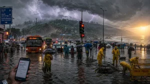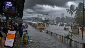
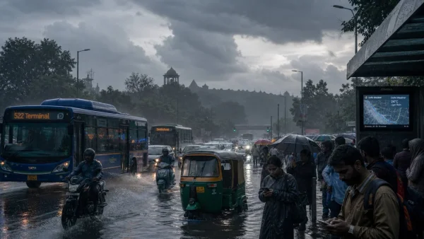
Sunday in Delhi was a cooler affair thanks to the rain, but the IMD has put out a warning for further showers across NCR as the day goes on. It is welcome relief from the stickiness, yet there is the ever-present risk of slow going on the roads should waterlogging set in. All eyes are on the weather today as monsoon activity is due to intensify.
Morning showers ease heat, more rain on the way
Dark clouds rolled in to blanket parts of the city with early showers. The weather department is talking of generally overcast skies and light to moderate rain for the rest of the day. Scattered spells are to be expected in Delhi-NCR and the IMD has put down the possibility of some isolated heavy rain.
Those commuting would do well to expect some interruption. The IMD has cautioned that a few intense bursts are enough to cause waterlogging in the lower-lying neighbourhoods and hamper movement on the main arteries at peak times.
The systems powering Delhi’s wet spell
In the view of the IMD, the renewed monsoon surge is being driven by two things. There is an atmospheric system in play over northeast Madhya Pradesh and a low-pressure area is taking shape on the West Bengal-Bangladesh coast.
Then there is the monsoon trough running from Amritsar to the Bay of Bengal, which is channeling moisture into northern, central and eastern India. It is an alignment that is fueling intermittent rain in the NCR and ratcheting up activity in other parts of the country.
On-ground snapshot: rain and temperatures
The city put in 1 mm of rain between 8.30 pm Saturday and 8:30 am Sunday, with the odd spot in the capital seeing light rain. At 8 am the IMD had mist and 27C to report from Safdarjung.
At the Ridge, a light thunderstorm and some mist were in evidence at 7 am with the mercury at 26C. For the last 24 hours or so, many places in Delhi have had very light to light rain, while isolated pockets saw moderate amounts accompanied by lightning and thunder.
Temperatures have been in the 23-26C range for minimums and 34-35C for maximums. As per IMD figures up to 0830, Pusa led with 016.5 mm of cumulative rain; the Ridge and Faridabad were at 000.2 mm and 001.0 mm.
Beyond NCR: where the heaviest rain is likely
Under the present conditions the IMD is looking for heavy to very heavy falls in some of central and eastern India. Chhattisgarh, east Madhya Pradesh, Odisha and east Uttar Pradesh are among those where one can expect the intensity to be high at times.
The northeast is in line for strong spells too. The IMD has Assam, Meghalaya, Arunachal Pradesh and Nagaland on its watch list. In the northwest, Himachal Pradesh, Uttarakhand, Punjab, Haryana and west Uttar Pradesh could be hit by isolated heavy showers.
Over on the west coast, Konkan, Goa, coastal Karnataka and Kerala are due for fairly widespread moderate rain, a sign of a monsoon pulse re-energising after a lull.
Some headline risks and what to take away from it all:
– Local flooding is a risk with short, hard bursts
– Landslip-prone conditions in the hills and northeast
– Slippery commutes on the west coast
Why this spell matters for crops
This is the latest word from the IMD following a rather weak showing from the monsoon. Rainfall across the country has been running 12% under the Long Period Average since June 1.
Agriculture has felt the impact of that deficit, not least after a sharp drop in June. If the current run of good rain holds for the next few days, it will be a boon for kharif crops in the belts that rely on it.
What to watch through the week
Uttarakhand is forecast to have isolated heavy rainfall from August 22 to 28. The Andaman and Nicobar Islands, Gangetic West Bengal, Odisha and Sub-Himalayan West Bengal and Sikkim can expect fairly widespread rain in the same period.
Jharkhand is in for a similar spread from August 23 to 28, and Bihar between the 24th and 26th. As for Delhi-NCR, the monsoon is far from done, so more on-and-off spells are in the offing.