You could tell it was coming on Tuesday evening as strong, dusty winds made their way through the city. The IMD had by then ratcheted up its warnings to a red alert for the big districts, with nowcasts showing we were in for 90 Km/h gusts. It was a welcome change after we hit 42 degrees C earlier in the day.
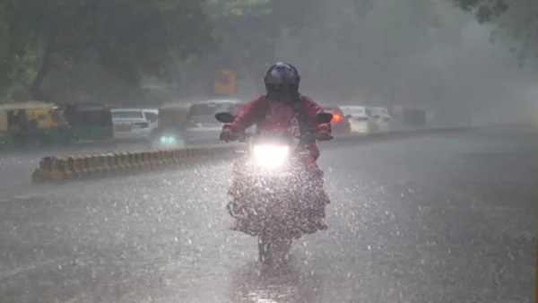
The advisory put it at 50-70 kmph for wind, with the possibility of some hail, lightning and moderate rain in pockets of the city. And so it went: by evening, you had neighbourhoods dealing with a mix of rain and dust.
What changed on the ground
All day the forecasts were for something a bit up and down, and come evening that’s what we got – light to moderate rain, the works. The regional centre has been clear: if you are in Delhi or NCR, there is a very good chance of 50-80 Km/h winds and a bit of a storm.
But don’t let the lull fool you; the heat isn't over. We’re looking at a high of 38-42 in Delhi, with the overnight low only dropping to 29-30.
How the alerts escalated
It was a yellow alert to start with for some cloud cover and a drizzle, with 40-50 kmph winds (up to 60) in the evening. When things started to look more serious, the IMD made the call to upgrade across the board.
This is where the district-wise nowcast has us:
– Red for South West, West, New, South and South East Delhi
– Orange in the North West, North, Central, North East and East
Impact beyond Delhi
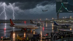
At about 5:30, the word from the IMD was that all of Delhi and NCR was in for 50-90 Km/h of gusty wind and some moderate thunder and rain. They also put out a heads-up for a possible hail or thunderstorm in places like Meham, Rohtak, Nandgaon, Barsana and Deeg.
Outside of NCR, Haryana is in for some of the same. The list of towns to watch includes Kaithal, Narwana, Fatehabad, Rajaund, Assandh, Safidon, Barwala, Jind, Panipat, Adampur, Hissar, Gohana, Gannaur, Hansi, Siwani, Sonipat, Rohtak, Kharkhoda, Mattanhail, Jhajjar, Sohana, Rewari, Palwal, Narnaul, Bawal, Nuh, Aurangabad, Hodal and Tosham.
Monsoon outlook and timing
Don’t mistake this for the monsoon. It has made headway in the south and east, but it’s not in the capital yet. That usually doesn’t happen here until mid-September at the latest, though it can be a moving target.
The IMD is putting the date for Delhi at some point between June 25 and 30. You can expect the same in Noida, Gurugram and Ghaziabad as we head to the end of the month.
We are already running behind schedule. The monsoon didn’t get to Kerala until June 4, a three-day delay the department is putting down to an El Nino in the Pacific.
What comes next
Things will keep being a little unpredictable. Even with the temps where they are, you can count on 50-70 kmph winds in spots. The last word from the region is that most of Delhi and NCR will see some rain and lightning.
Here is what to keep in mind if you are out and about:
– The weather can turn in a hurry in the evening
– In a squall, you might see 50-90 Km/h
– Any real relief is down the line with the monsoon
Until the 25th or 30th, you can expect a week of spotty showers and some forceful wind to break up the heat.