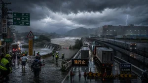
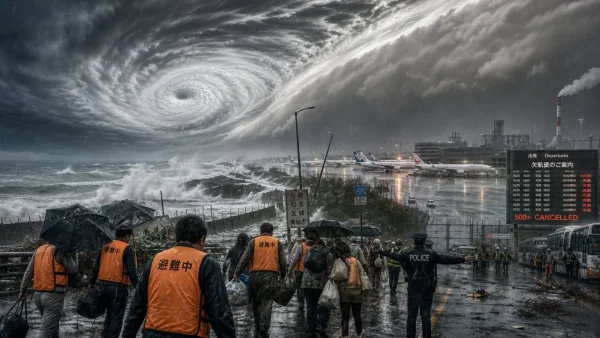
Japan is in a hurry to get ahead of Typhoon Dolphin as it bears down on Okinawa and Kyushu. The Category 1 system is expected to hold its strength and deliver violent winds and heavy rain, according to authorities. That has meant over 500 flight cancellations and evacuation orders for 260,000 people.
Toyota was among those to feel the disruption on Friday, suspending operations at nine plants. It is a case in point of how one storm can throw production and logistics into disarray in southwestern Japan.
The Japan Meteorological Agency had maximum sustained winds at 144 kph on 7 August 2026, with gusts to 198 kph. The slow-moving storm was making for the chain of islands between Okinawa and Kyushu prefecture.
In the view of officials, Dolphin is a large storm that has already put much of Kyushu in its path with strong winds, indicating a broad area of impact.
Transport and industry brace for impact
It was air travel that felt the first brunt of the approaching storm, with some 500 flights called off on Friday. The cancellations were a quick reaction to the hazardous conditions developing over the main routes.
For Toyota, the decision to stand down at nine factories is an acknowledgement of the wider risk to just-in-time manufacturing. Even a brief stoppage can send ripples through dealerships and suppliers when you factor in the high waves and rain.
All told, the confirmed toll so far is the 500 plus flight cancellations and the suspension of the nine Toyota facilities.
Evacuations and risk zones
As Dolphin neared the island arc south of Kyushu, local governments in Kagoshima and Okinawa put out evacuation orders for close to 260,000.
There are warnings from authorities that if the storm holds its course, the winds could bring down some structures. They expect Dolphin to be no less formidable as it comes to Okinawa prefecture.
Satellite pictures of the storm heading for Okinawa have only served to reinforce the need for the evacuation and maritime advice being given.
Weather dynamics and hazards
The weather agency has cautioned about the possibility of a linear rain band, a narrow stretch of thunderstorms and intense rain that can cause sudden flooding.
Then there is the matter of heat. Some areas could see 36 degrees Celsius (97 F), which the agency says is a concern for heatstroke.
Given the high waves and the fact the storm is not losing any power near Okinawa, the danger of windborne debris and flash floods remains a focus for the authorities.
Kumamoto’s compounded challenges
In Kumamoto, part of Kyushu, the aftermath of last week’s 7.1 magnitude earthquake is still fresh. Some 6,700 are in evacuation centres after their homes gave way, and now the strong winds are set to make things harder.
What to watch next
Guidance from the Japan Meteorological Agency suggests the violence of the winds and waves will persist near Okinawa. There is also a call to pay attention to evacuation information in light of the flood threat from any linear rain band.
Caution is the word for businesses and travellers at present. With factory shifts on hold and widespread cancellations, all eyes in southwestern Japan will be on the updates as Dolphin works its way through the region.
The rapid moves made on Friday by manufacturers and airlines show what is at stake: to shield lives and keep transport and production from further disruption. How well the region can limit the damage in the hours to come will be the test.