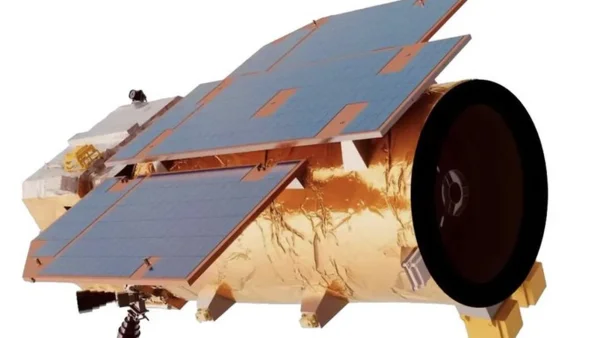
According to an investigation of Iranian military papers that were leaked, Iran now has a Chinese satellite built to observe the Earth and used it to watch over U.S. military spots in the Middle East while there was recent conflict. The satellite, known as TEE-01B, was supposedly given to the Islamic Revolutionary Guard Corps Aerospace Force in Iran in late tthe year and is Chinese made.
Acquisition and capabilities of TEE-01B
The Chinese company that made and launched the satellite has a way of doing business where the buyer gets control of it after it’s in space. The papers show that the IRGC paid a lot of money, several million dollars, and got to use commercial ground stations in Beijing operated by a company with connections around the world.
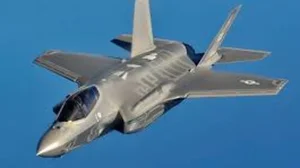
TEE-01B is said to take pictures that show details as small as half a meter, a big improvement over Iran’s own satellites. With that level of detail, people who analyze images can identify planes, vehicles and any changes to buildings or roads. This means they can choose targets before an attack and see how much damage was done afterwards.
Evidence from leaked Iranian documents
The leaked military files have lists of coordinates with dates and times, pictures from the satellite, and calculations of its path in space. These all connect TEE-01B to being told to watch certain things by Iranian leaders. The documents show the satellite was given the job of taking pictures of particular places connected to the U.S. around the time of attacks.
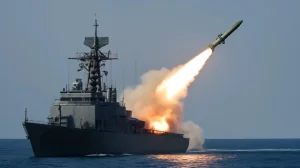
The documents used include pictures of places both before and after they were attacked in March. These attacks involved drones and missiles hitting some of the places being watched. People and companies mentioned in the first report didn’t respond right away to questions, and it’s been difficult to independently confirm the leaked files.
Targets and timing of surveillance
The satellite apparently watched a large air base in Saudi Arabia, an air base in Jordan, the area around a naval base in Bahrain, and an airport in Iraq. In some cases, pictures were taken on March 13th, 14th and 15th, showing what was happening at these places both before and after the attacks.
One set of pictures matches the date when U.S. planes at a base in Saudi Arabia were reported to have been hit. The dates in the documents suggest the satellite was used to find targets before attacking and to see the results afterwards, which helped people on the ground plan things.
Strategic and policy implications
This situation shows how commercial space technology can really change how battles are fought. If another country gets access to very clear pictures, it changes how they pick targets and makes it harder for bases and allies in the area to defend themselves.
To respond, we could make forward bases more secure, spread out military equipment, improve how well things are hidden, use electronic ways to interfere with the enemy, and make it harder to export space technology that could be used for both civilian and military purposes. This incident stresses the importance of clearer international rules for selling and moving commercial satellites that have uses in war.
China’s commercial space model and export concerns
The way this satellite was transferred shows the risks of a business plan where control is given to a buyer once the satellite is in orbit and of using networks of commercial ground stations to maintain control. Even though companies say these systems are for civilians, they can be used for military goals, making the difference between business and defense less clear.
Governments have to decide between talking with other countries, making stricter rules about exports, and watching satellite services more closely. If manufacturers and service providers are more open about what they’s doing and there are international standards for space technology that can be used for two purposes, it could reduce the chances of things getting worse.
Because of what is being reported about TEE-01B being used to watch U.S. buildings, there are urgent questions about who is responsible for how business is done in space and what must be done to make sure commercial technology doesn’t make problems between countries in the area even worse. People who make policy need to consider technical protections, new laws and talking with others to deal with a quickly changing security situation.